 Hayden Goldberg
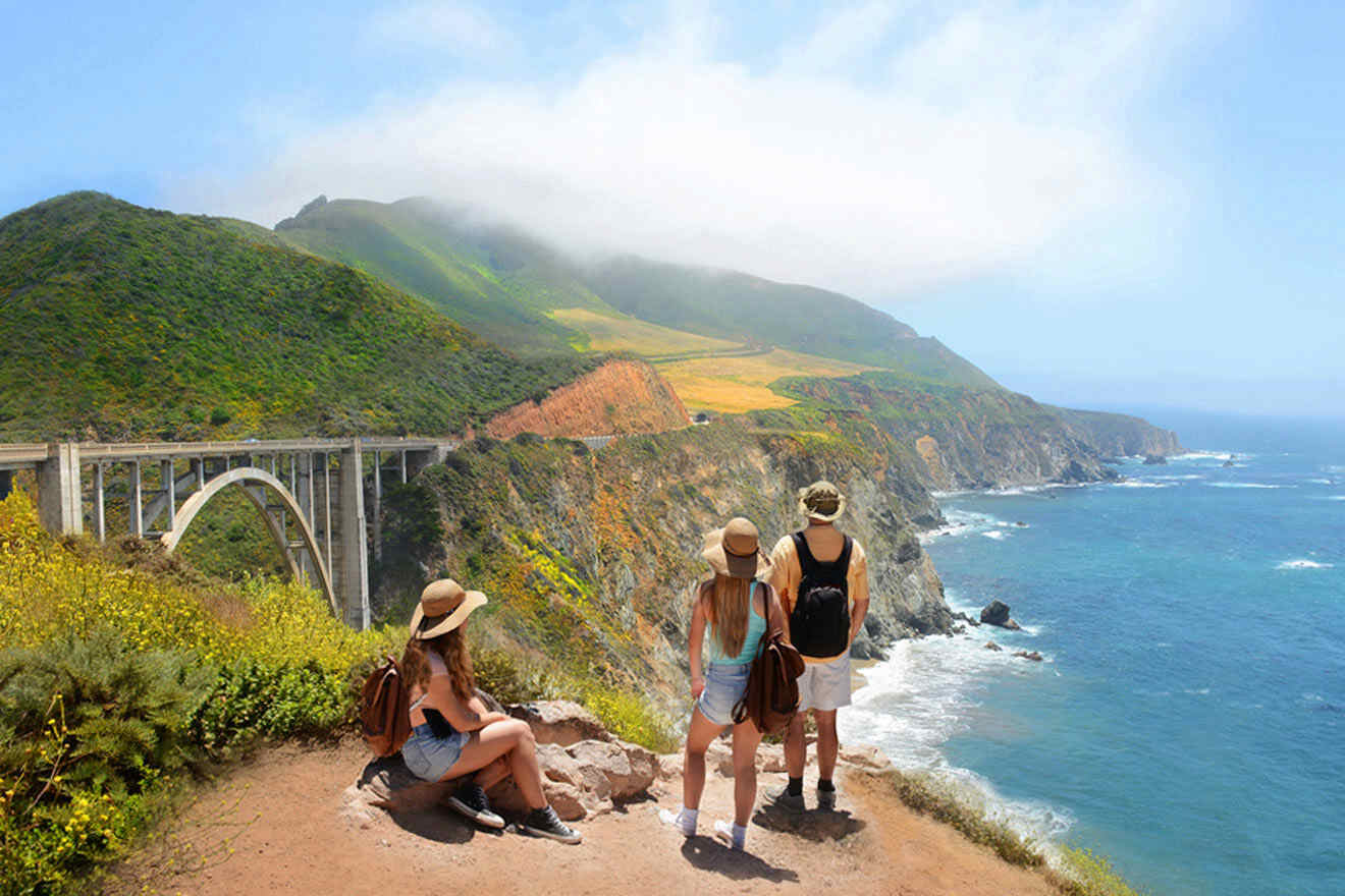
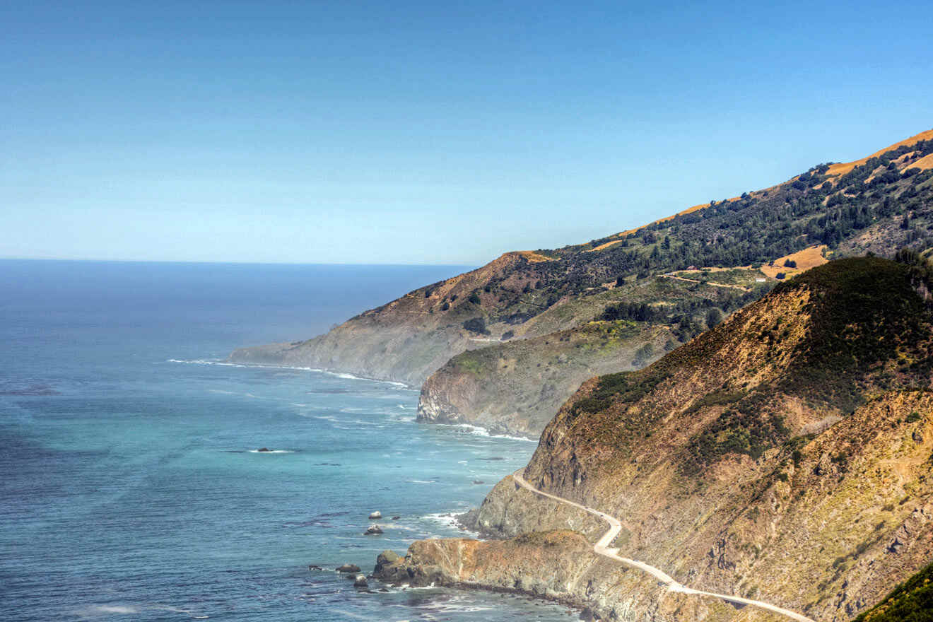
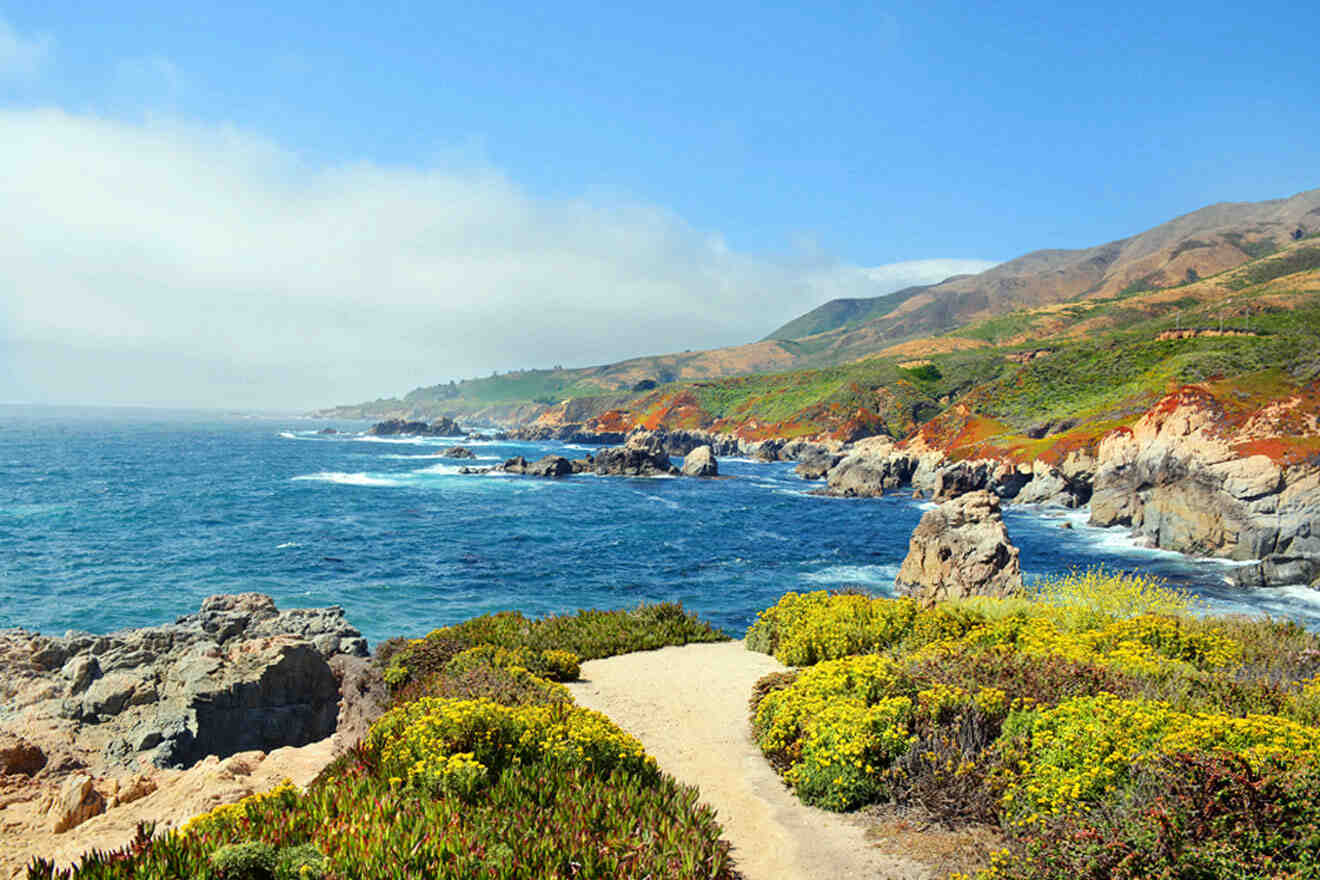
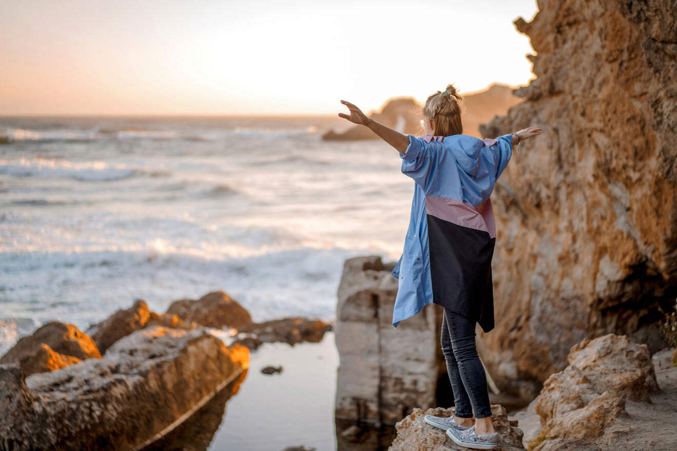
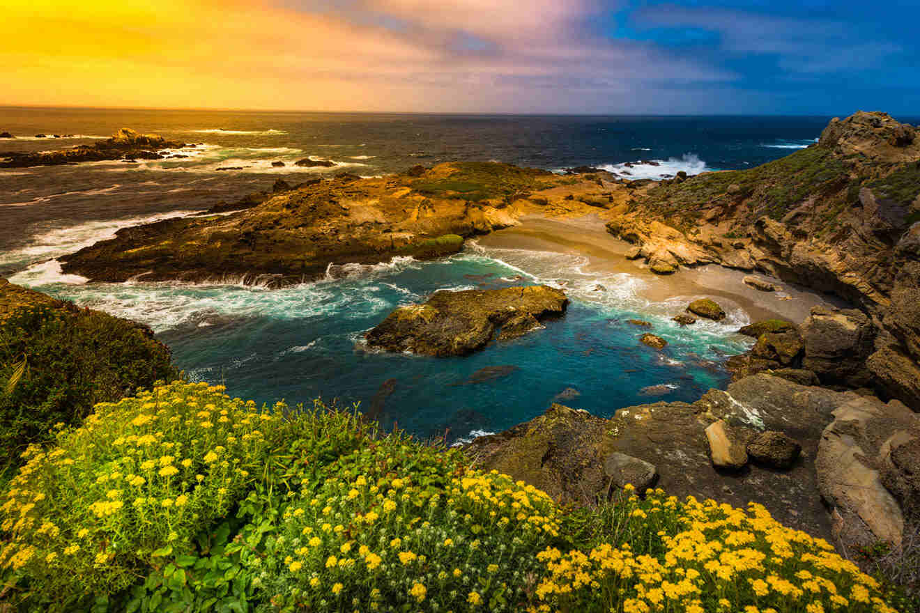
As a Californian living the dream in sunny San Diego, I’m always on the lookout for the best hikes in my home state. Recently I spent some time up in Big Sur, California, a breathtaking stretch of rugged coastline nestled between Carmel and San Simeon, approximately 150 miles (c. 240 kilometers) south of San Francisco, flanked by the stunning Santa Lucia Mountains.
It’s defined by dramatic cliffs, pristine beaches, and towering redwoods, so I had a feeling it would have a blast discovering the best hikes in Big Sur, California. Whether you’re a seasoned hiker or a weekend warrior, the Big Sur hiking trails offer an array of awe-inspiring landscapes that will leave you breathless.
So come along as we lace up our hiking boots, grab our trail maps, and immerse in the untamed beauty of these Big Sur hiking trails
But before we hit the road, don’t forget to book your tours and hotels in advance because, trust me, you won’t want to miss out on some of these amazing gems!
Ready? Let’s go! 🚶
Contents
- Quick Picks for Your Stay
- 1. Nature Trail and River Path, Pfeiffer Big Sur State Park
- 2. McCay Waterfall Overlook Trail at Julia Pfeiffer Burns Park
- 3. Vicente Flat Trail
- 4. Soberanes Canyon & Rocky Ridge Loop Trail
- 5. Limekiln State Park Trail
- 6. Sand Dollar Beach Trail
- 7. Cypress Grove Trail
- 8. Pacific Valley Bluff Trail
- 9. East Molera Trail
- 10. Whale Peak Trail
- 11. Mill Creek Trail
- 12. The Tanbark Trail
- 13. South Shore Trail and Point Lobos State Nature Reserve
- 14. Point Lobos Loop Trail
- 15. Ragged Point Cliffside Trail
- Where to stay in Big Sur
- FAQs about best hikes in Big Sur
- Conclusion
Quick Picks for Your Stay
If you’re pressed for time and looking to squeeze in a few of the most popular hiking trails in Big Sur, you have to plan accordingly. See my top 3 must-do hikes that will make your Big Sur trip unforgettable:
Here are the top 3 hikes you don’t want to miss:
- Nature Trail and River Path – Family-friendly
- Andrew Molera State Park – Rugged cliffs & coastal access
- McWay Waterfall Trail – Best views
And here are the best hotels: Monterey Bay Inn (luxury), Wave Street Inn (mid-range), Stage Coach Lodge (budget)
1. Nature Trail and River Path, Pfeiffer Big Sur State Park
📏 Distance: 0.6 miles (1 km), loop
⏱️ Time: 30 – 45 minutes
📈 Difficulty: Easy
📍 Starting point: Day use lot 2 at Pfeiffer Big Sur State Park
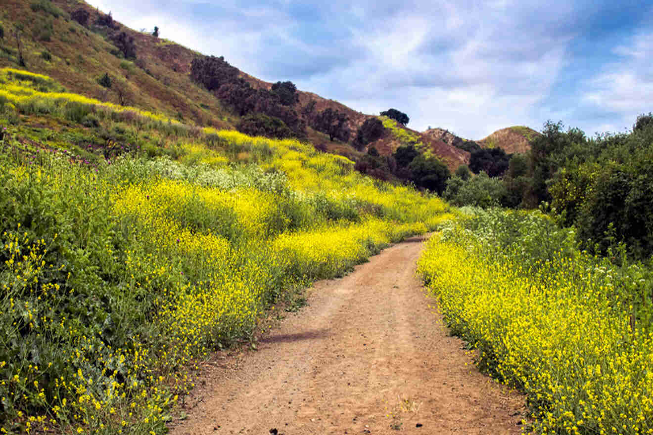
These 2 fantastic side-by-side hikes, located in Pfeiffer Big Sur State Park, 30 miles south (c. 50 km) of Monterey, are great for hiking in Big Sur at a very accessible level.
Pfeiffer Big Sur State Park has many popular Big Sur trails to choose from, but these are my favorite. The Nature Path Trail begins at parking lot 2. I loved this hike, mostly because the trees are fantastic, including bays, sycamores, and coastal redwoods.
After crossing the park road, you’ll see the River Path, the highlight being the incredible Proboscis Grove. This grove is home to coastal redwoods that have stood for several hundred years right here in Pfeiffer Big Sur State Park!
PRO TIP: Look for the Proboscis tree, which has a distinctive nose-like protrusion from its trunk.
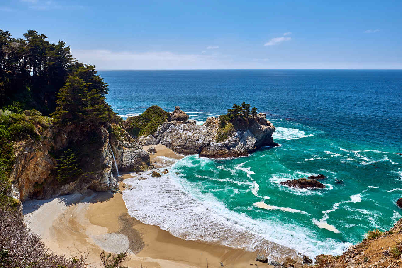
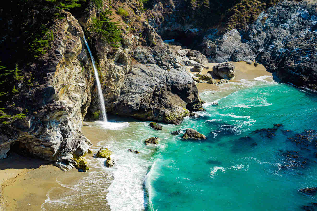
2. McCay Waterfall Overlook Trail at Julia Pfeiffer Burns Park
📏 Distance: 0.5 miles (0.9 km), round-trip
⏱️ Time: 20 – 30 minutes
📈 Difficulty: Moderate
📍 Starting point: Near Julia Pfeiffer Burns State Park entrance, McWay Canyon
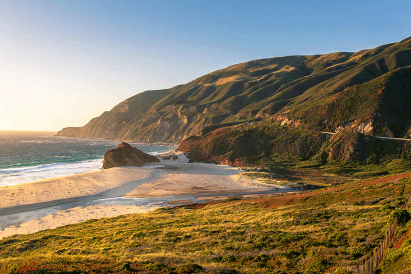
The Waterfall Overlook Trail in Julia Pfeiffer Burns State Park is definitely one of the best hikes in Big Sur. This moderate hike takes you out to view McWay Falls and the stunning coastal scenery below.
Arriving at McCay Falls inside Julia Pfeiffer Burns State Park makes the fairly difficult hike feel 100% worth it! The viewpoint alone provides the perfect vantage point to admire the falls.
PRO TIP: Get there before dawn. Witnessing the morning light on McWay Falls adds an extra touch of magic to some of the best hiking trails in Big Sur.
NOTE: This trail is temporarily closed, but should be reopened. Check the official park website for the latest updates.
Subscribe here to get up to 35% off your accommodation for your next trip!
3. Vicente Flat Trail
📏 Distance: 5 miles (8 km), round-trip
⏱️ Time: 2 – 3 hours
📈 Difficulty: Moderate
📍 Starting point: Highway 1 across the highway from Kirk Creek Camp
One of the best hikes in Big Sur, Vicente Flat Trail, is a moderate hike that takes you through the famous redwood forest. This trail is known for its tranquility and lush landscape, providing a serene escape into nature.
Throughout your hike, you’ll encounter an array of wildflowers that add vibrant pops of color to the forest. It’s so incredibly enchanting!
4. Soberanes Canyon & Rocky Ridge Loop Trail
📏 Distance: 4.4 miles (7 km), loop
⏱️ Time: 3 – 4 hours
📈 Difficulty: Hard
📍 Starting point: Along Highway 1 at Soberanes Point
I’m a fairly experienced hiker, and I’d say the Soberanes Canyon and Rocky Ridge Loop Trail in Garrapata State Park is definitely one of the more strenuous of the Big Sur hikes. Combining the beauty of Soberanes Canyon with panoramic coastal views from Rocky Ridge, the ridge trail is known for its diverse terrain and challenging elevation gain.
Soberanes Creek accompanies you along parts of the ridge trail, adding a really peaceful, zen element to the journey.
As your elevation gain increases, the trail leads you to Rocky Ridge, offering breathtaking panoramic views of the coastline.
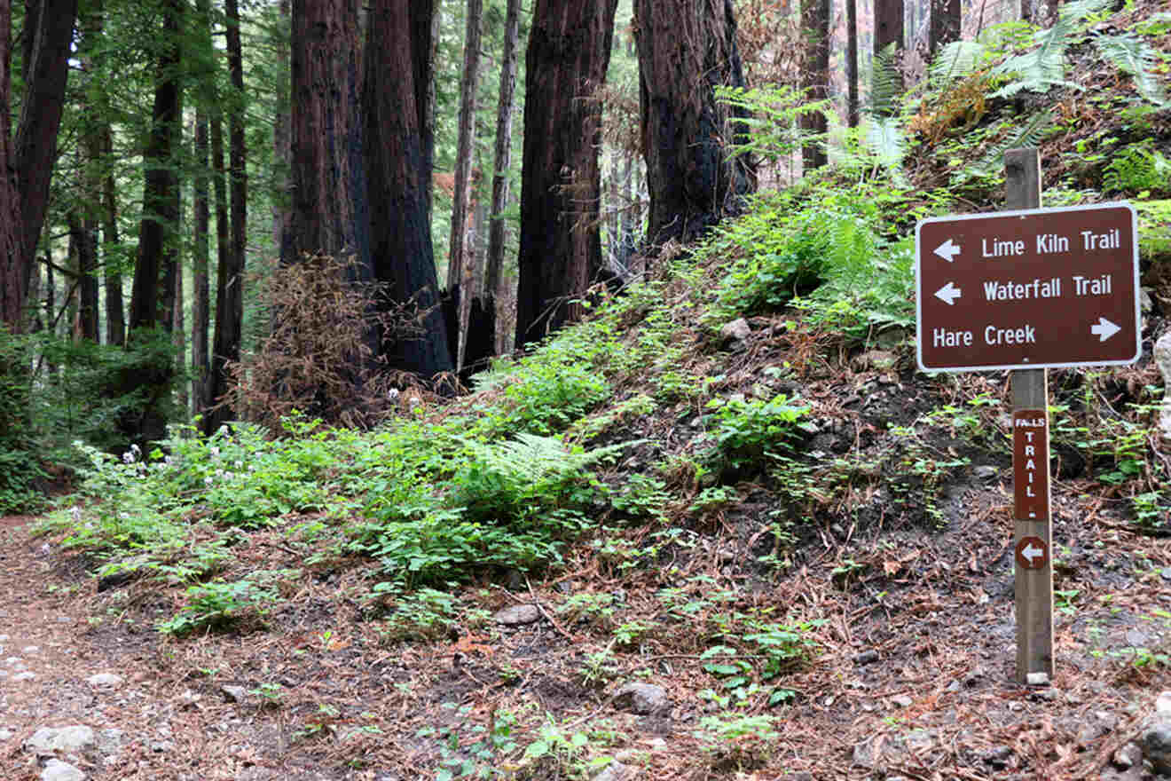
5. Limekiln State Park Trail
📏 Distance: 2.6 miles (4.8 km), round-trip
⏱️ Time: 1 – 2 hours
📈 Difficulty: Easy to moderate
📍 Starting point: Just inside Limekiln Park entrance
Definitely, a favorite hike of mine in Big Sur, Limekiln State Park Trail is fairly mellow, allowing you to take in the beauty and surroundings of Big Sur without too much of a time or energy commitment.
This Big Sur trail begins near Limekiln Creek, taking you through the towering redwoods. I love that you can hear the sounds of the creek as you trudge through the forest.
One of the highlights of the Limekiln State Park Trail is the historic limekilns from the lime production past. These remnants of the park’s industrial past are a cool glimpse into the region’s history.
Continuing along the trail, you’ll see picturesque waterfalls that drop into beautiful pools below.
My favorite part, the trail’s end, opens up to beautiful beaches. Take a moment to relax on the sandy shores, enjoy the salty breeze, or dip your toes in the Pacific.
6. Sand Dollar Beach Trail
📏 Distance: 0.5 miles (0.8 km), round-trip
⏱️ Time: 20 – 30 minutes
📈 Difficulty: Easy
📍 Starting point: Sand Dollar Beach Day Use Area, located along Highway One near Plaskett Creek Campground
This scenic coastal trail in Big Sur is an easy hike, offering you views of the rugged coastline and providing access to the expansive beach below.
As the trail starts, you’ll be greeted with stunning coastal vistas that stretch as far as the eye can see. The trail follows along the cliffside, offering panoramic views of the sparkling ocean and the dramatic rock formations that dot the shoreline.
Continuing along the trail, you’ll descend toward Sand Dollar Beach, an expansive stretch of golden sand. Take off your hiking boots, feel the warm sand beneath your feet, and breathe in the salty ocean air.
NOTE: Always check with the park ranger or visitor center at the park entrance to see about trail closures on any of the popular hiking trails.
7. Cypress Grove Trail
📏 Distance: 0.8 miles (1.2 km), round-trip
⏱️ Time: 15 – 20 minutes
📈 Difficulty: Easy
📍 Starting point: Sea Lion Point parking area inside Point Lobos State Nature Reserve
The Cypress Grove Trail in Point Lobos State Nature Reserve, 30 miles south (c. 50 km) of Monterey offers an easy hike through an ancient grove of towering cypress trees and amazing coastal views for nature lovers.
These beautiful trees create a magical ambiance with their twisted trunks and delicate foliage.
Throughout the trail, you’ll catch a glimpse of the sparkling ocean and the dramatic coastline of Big Sur. The contrast between the ancient cypress trees and the dynamic coastal backdrop creates an unforgettable hiking experience.
PRO TIP: For an extra magical experience, hike Cypress Grove Trail during sunrise or sunset. The lighting during these times of day casts a golden glow on the cypress trees and intensifies the beauty of the coastal scenery. Of the Big Sur hikes, this experience is so special.
8. Pacific Valley Bluff Trail
📏 Distance: 0.7 miles (1.1 km), out and back
⏱️ Time: 15 minutes
📈 Difficulty: Easy
📍 Starting point: Park at Pacific Valley Station inside Los Padres National Forest
The Pacific Valley Bluff Trail in Los Padres National Forest begins along the coastal bluffs, offering stunning views of the Pacific Ocean.
One of the highlights of the Pacific Valley Bluff Trail for me was the opportunity to pop onto a secluded beach down below the bluffs of the national forest. It was the perfect way to relax after the hike.
This trail also provides an excellent vantage point to observe the diverse marine life of Big Sur. Keep an eye out for seals, sea lions, and even whales if you’re lucky.
TIP: While you’re here, hop on the Panorama Trail in the national forest for more incredible views!
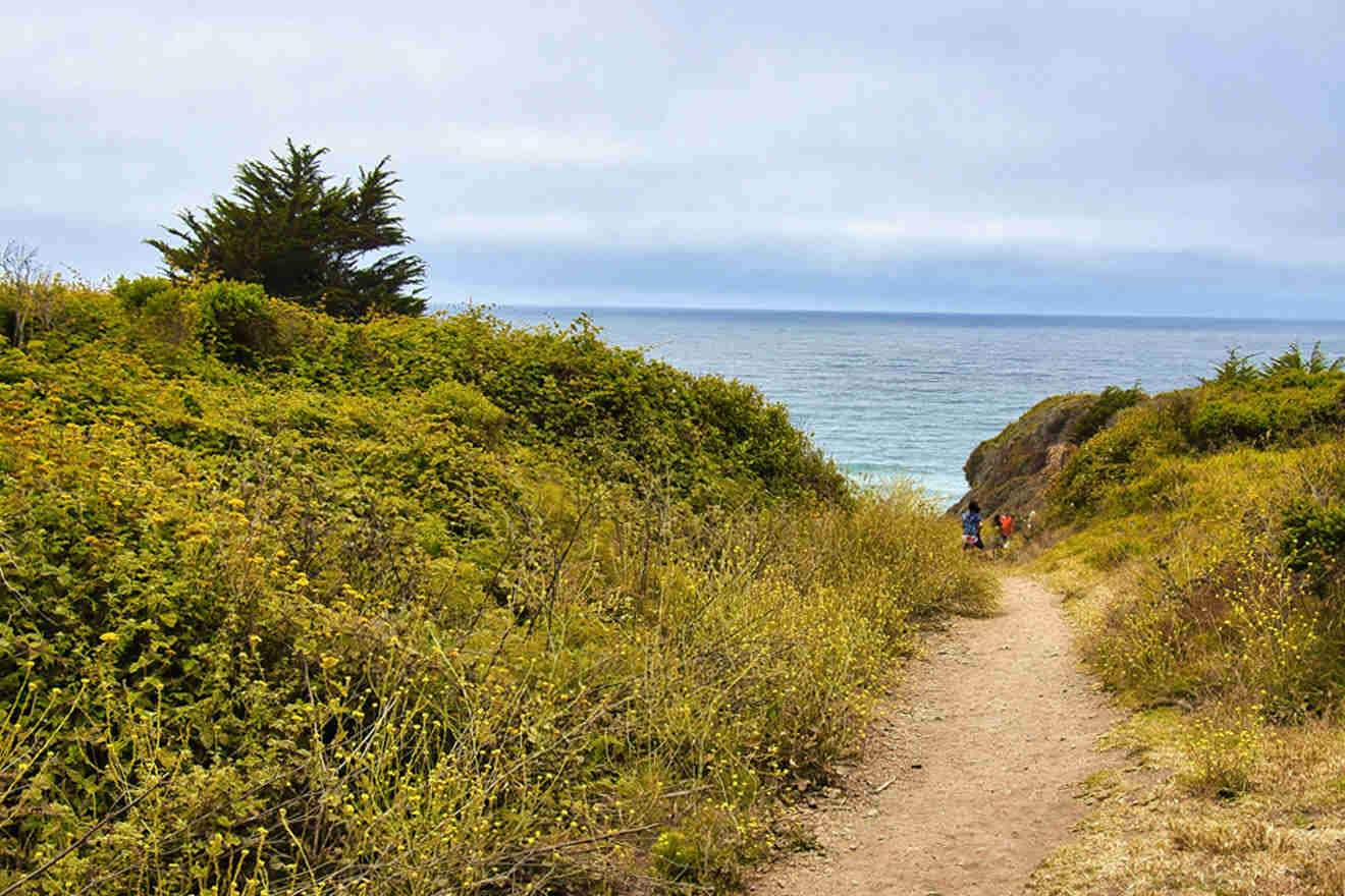
9. East Molera Trail
📏 Distance: 4 miles (6.4 km), out and back
⏱️ Time: 2.5 – 3 hours
📈 Difficulty: Hard
📍 Starting point: Main parking lot of Andrew Molera State Park
One of the best hikes in Big Sur, the East Molera Trail, is a difficult one. Winding through the rugged cliffs, you undoubtedly get stunning views of Big Sur, the coastline, and the beaches down below. I love that this Big Sur trail gives you beach access.
The trail descends into a scenic canyon, where you’ll find yourself surrounded by lush vegetation and the soothing sound of flowing creeks.
As you trek through the canyon, you’ll spot the incredible redwood trees throughout the forest area.
10. Whale Peak Trail
📏 Distance: 1.8 miles (2.9 km), out and back
⏱️ Time: 1 – 1.5 hours
📈 Difficulty: Hard
📍 Starting point: Along Highway 1 at Soberanes Point
This mammoth of a hike in Big Sur is a challenging one that leads to the summit of Whale Peak, giving way to panoramic views.
As you ascend the Whale Peak Trail, be prepared for a challenging, steep trail that tests your endurance.
I advise you to start early to allow ample time to complete the hike and make the most of the daylight hours.
11. Mill Creek Trail
📏 Distance: 2.3 miles (3.7 km), loop
⏱️ Time: 1 – 1.5 hours
📈 Difficulty: Easy
📍 Starting point: From Nacimiento-Fergusson Road, which turns off Highway 1 at .1 miles (.16 kilometers) south of Kirk Creek Campground.
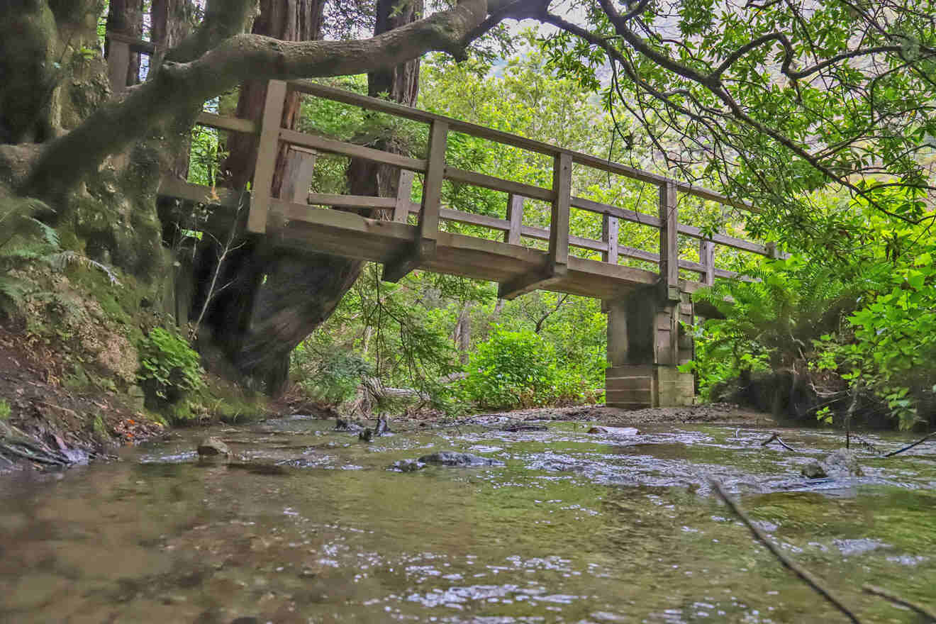
I love hiking in Big Sur! The opportunities to get lost in nature are endless. The Mill Creek Trail is a moderate hike that takes you through the forest and alongside the aptly named Mill Creek.
As you start the Mill Creek Trail, you’ll be surrounded by a dense forest, providing shade and a cool atmosphere.
One of the highlights of this hike is Mill Creek itself, which accompanies you along a portion of the trail. The crystal-clear waters of the creek flow gently, creating a pleasant soundtrack for your hike.
The Mill Creek Trail offers an opportunity to cool off and relax in natural pools along the creek.
12. The Tanbark Trail
📏 Distance: 6.4 miles (10.3 km), out and back
⏱️ Time: 3 – 4 hours
📈 Difficulty: Hard
📍 Starting point: East side of Hwy 1 at Partington Cove turnout, about 2 miles north of McWay Falls
The Tanbark Trail is a moderate hike through captivating redwood forests, alongside a peaceful creek, and into stunning waterfalls.
I was blown away by the redwood groves, the serene creek-side hike, and just admiring the amazing waterfalls. Definitely try to fit this one in.
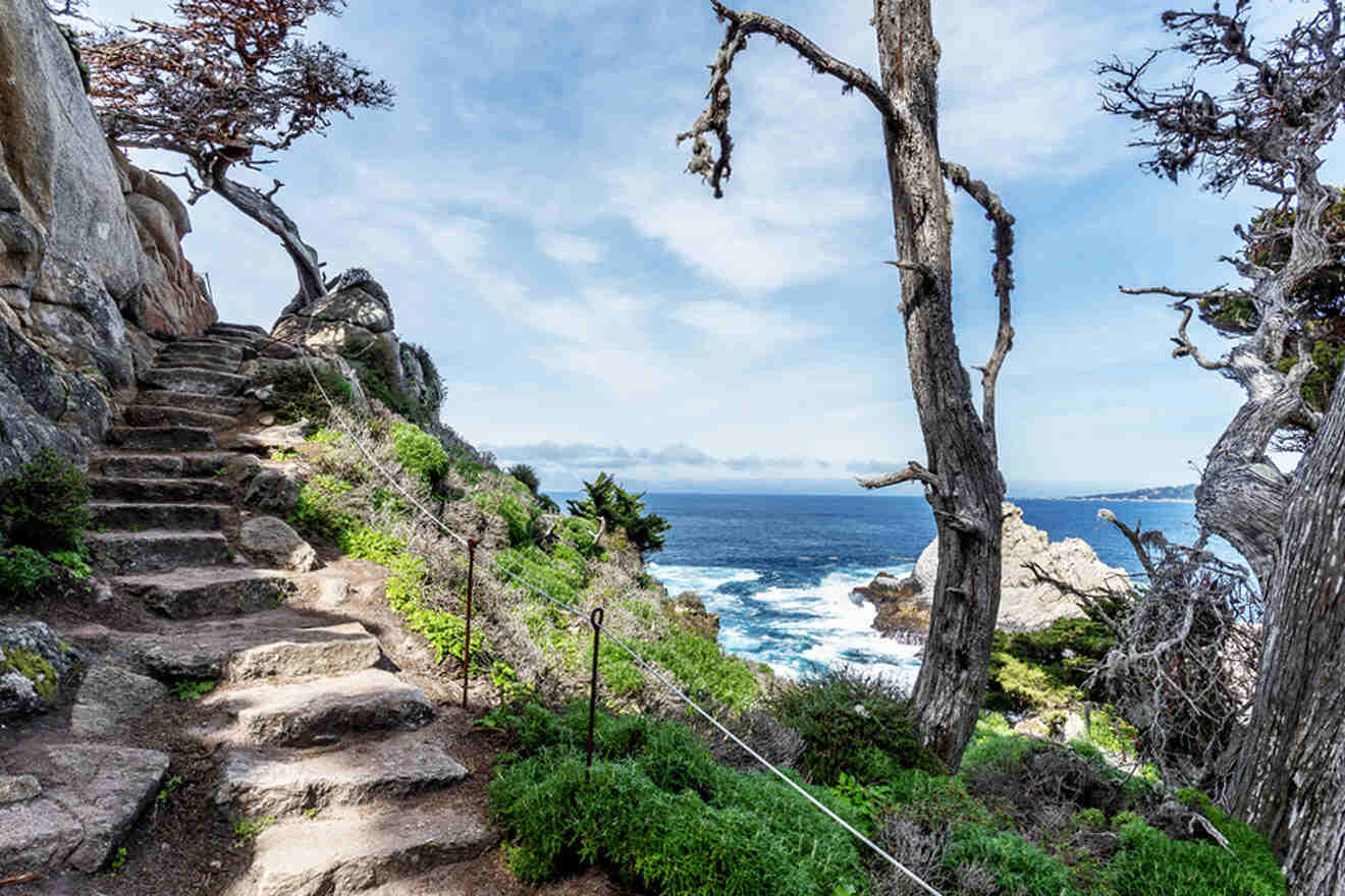
13. South Shore Trail and Point Lobos State Nature Reserve
📏 Distance: 2 miles (3.2 km), out and back
⏱️ Time: 1 – 1.5 hours
📈 Difficulty: Easy
📍 Starting point: At South Point Trail parking lot
This Big Sur hike, South Shore Trail in Point Lobos State Natural Reserve, offers an easy out-and-back trail, opening to breathtaking coastal scenery and rocky shorelines. As the trail starts, it’s nice and flat and slowly gives way to beautiful vistas.
14. Point Lobos Loop Trail
📏 Distance: 4.6 miles (7.4 km), out and back
⏱️ Time: 2 – 4 hours
📈 Difficulty: Moderate
📍 Starting point: Point Lobos Entrance Station
Another great option, Point Lobos Loop Trail, is a moderate scenic hike located in Point Lobos State Natural Reserve near Carmel-by-the-Sea. Known for its breathtaking coastal scenery and diverse wildlife, Point Lobos State Natural Reserve is often referred to as the “crown jewel” of the California State Park system.
The Point Lobos Loop Trail is approximately 7 miles (over 11 km) long and offers you the chance to explore the reserve’s stunning landscapes, including rocky cliffs, sandy beaches, hidden coves, and dense forests.
15. Ragged Point Cliffside Trail
📏 Distance: 0.8 miles (1.2 km), round-trip
⏱️ Time: 1 hour
📈 Difficulty: Easy
📍 Starting point: Next to the Ragged Point Inn gazebo and lookout point.
If you’re hiking in Big Sur and want an easy, breezy day in the fresh air, try Ragged Point Cliffside Trail. Ragged Point is situated about 15 miles (24 kilometers) north of San Simeon and offers breathtaking views of rugged cliffs, crashing waves, and expansive ocean vistas.
I love this short, easy trail that allows you to get a taste of the Big Sur coast without a steep climb.
PRO TIP: Ragged Point Inn and Resort, which sits perched atop the cliffs not far from the park entrance, provides a convenient starting point for the trail and has a large parking lot for convenience. Grab a room here if you can!
| 👪 Most kid-friendly: | Nature Trail and River Path |
| ✨ Best views: | McCay Waterfall Overlook Trail |
| 😀 Easiest trail: | Cypress Grove Trail |
| 💪 Most challenging trail: | East Molera Trail |
Where to stay in Big Sur
See below for my top recommendations for a stay in the Big Sur area for any budget:

- Luxury (US$500 and up)
Monterey Bay Inn – This beautiful option sits right on the Pacific Ocean, with a rooftop whirlpool and access to a sandy beach right out front.
Monterey Plaza Hotel & Spa – With a full-service spa and private, this luxury option with a rooftop fitness center has incredible service and a great location.
- Mid-Range (US$250 – US$400)
Wave Street Inn – Just a short drive from the beach and the Monterey Aquarium, this hotel is a great choice for all the area’s attractions.
The Jabberwock Bed & Breakfast – You won’t believe how adorable this old Victorian home turned bed & breakfast is, with afternoon tea & biscuits and a central location to Monterey’s sites.
- Budget (up to US$250)
Stage Coach Lodge – A boutique Monterey motel, this budget option is super comfy, central, and a great option for your trip.
Sunset Inn Pacific – With renovated guest rooms, beautiful, lush grounds, and a charming aesthetic, this is the perfect option for your stay.
FAQs about best hikes in Big Sur
🚶 What is the longest hiking trail in Big Sur?
The longest hiking trail in Big Sur is Coast Ridge and Nacimiento-Fergusson Road. This trail is estimated to be 42 miles (68 kilometers) long.
🌲 Does Big Sur have some of the best hiking?
Yes, Big Sur has incredible hiking, like Pacific Valley Bluff Trail, Sand Dollar Beach Trail, and the Valley View Trail.
🎒 What are the best short hikes in Big Sur?
Andrew Molera State Park, Pfeiffer Falls Trail, and McWay Falls Overlook Trail are some of the best short hiking trails in Big Sur.
🌊 Can you hike down to Big Sur waterfall?
You cannot hike down to Big Sur waterfall, also known as McWay Falls, because it is illegal to do so.
Conclusion
The best thing about hiking in Big Sur is the endless amount of choices, you can find a trail for any skill level.
Get your adrenaline going in the great outdoors, take in the breathtaking ocean views and the picturesque jagged cliffs, and get a taste of what California has to offer in this Central California oasis.
I can’t wait to hear about your favorites from the list of best hikes in Big Sur! Happy trails. 🙂
Since you’ll want to see as much as possible during your trip to Big Sur, make sure to book your priority hotels and activities in advance!
Don’t forget to leave a comment. Let me know your favorites and why!
Aloha & safe travels,
Hayden G.
Pin it for later!

Pin it for later!


This site is protected by reCAPTCHA and the Google Privacy Policy and Terms of Service apply.